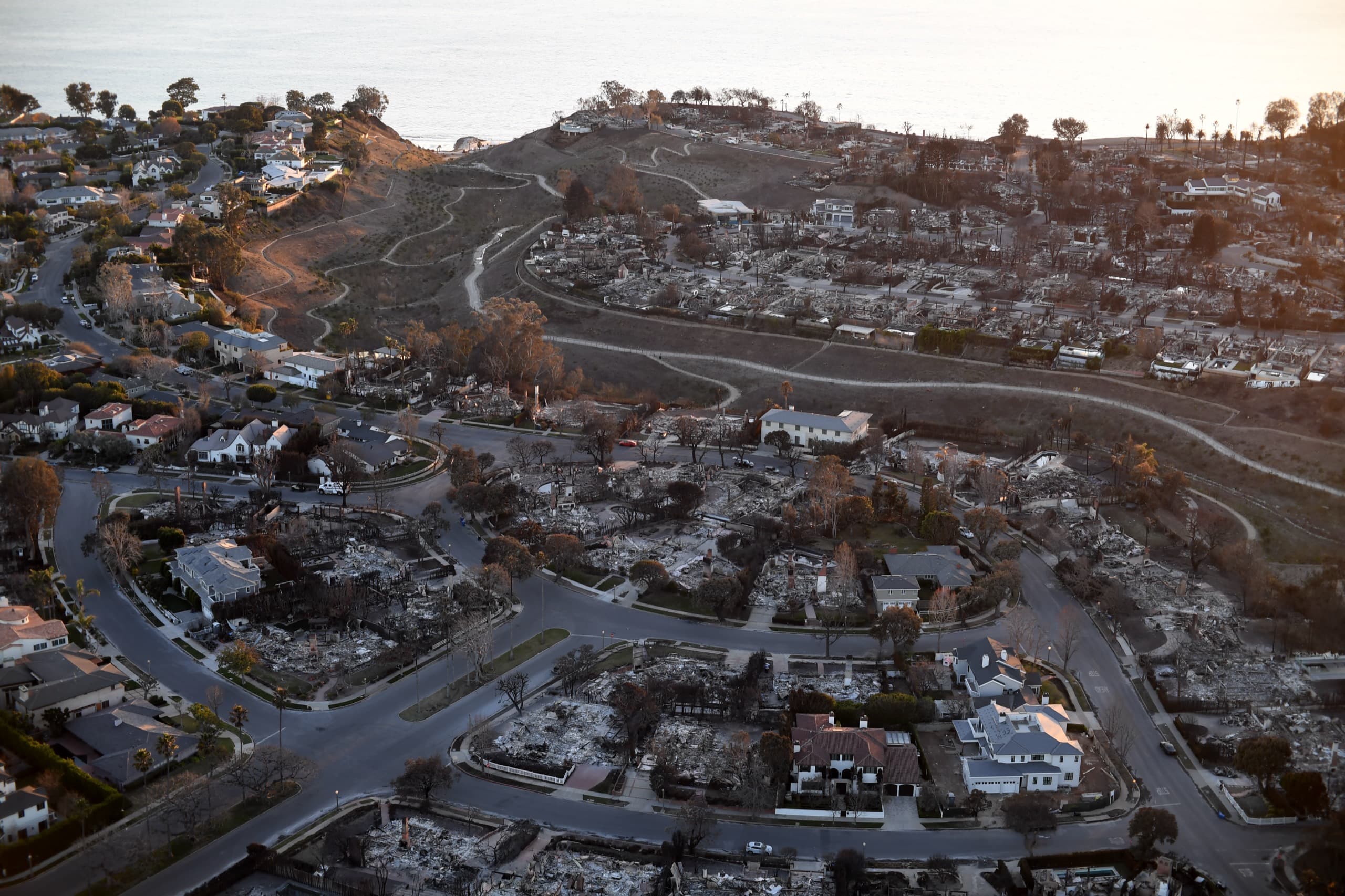
Aerial view of the Pacific Palisades coastline after the January 2025 fire
A Market Analysis
Civil Engineering · Spatial Economics
Market Opportunity Brief · Post-Wildfire Coastal Corridor

Drone-Enabled Civil Engineering

in the Malibu–Pacific Palisades Coastal Corridor

Where one firm holds the engineering stamp, the airspace authorization, and the contractor’s license, the post-fire reconstruction of one of America’s most valuable coastlines becomes a defensible engineering market — not a commodity drone service.

Licensed CA Civil EngineersFAA Part 107 Remote PilotsCA General Contractor A & B· June 2026
↓
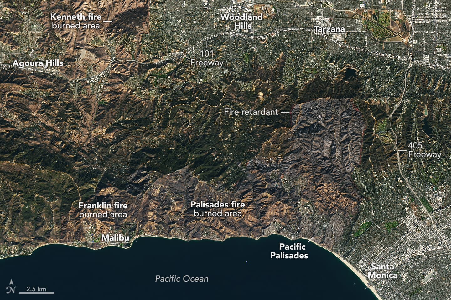
Landsat satellite view of the Palisades Fire burn footprint over Pacific Palisades and the coast
Frontispiece — The Palisades Fire footprint along the Malibu–Pacific Palisades coast, imaged days after ignition; charred terrain and fire-retardant lines trace the corridor. NASA Earth Observatory / USGS Landsat 9 (public domain)
Abstract

The January 2025 Palisades Fire destroyed more than 6,800 structures and burned over half of the corridor’s slope area at moderate-to-high severity,1,2 opening a 24–36 month reconstruction window across some of the highest-value terrain in the United States. This thesis argues that the convergence of two credentials — a post-1982 California civil engineering license and an FAA Part 107 remote pilot certificate — creates a durable, defensible market position that neither surveyors nor commodity drone operators can occupy alone.

Drone-derived photogrammetry and LiDAR collapse the cost and schedule of engineering-grade topography by 40–70%,7while the engineer’s stamp converts raw point clouds into liable, permit-ready deliverables. Layered over a corridor of overlapping airspace and jurisdictional constraints,5,6these barriers thin the field of qualified competitors rather than the operator’s own opportunity — and position the dual-credentialed engineer-pilot to capture recurring, high-margin revenue throughout the reconstruction.